
REAL ESTATE · BUILD TRUST THROUGH VISUAL STORYTELLING
A tool to gain trust in Real Estate
Turn a property location into a vivid, interactive story. Help buyers see the neighborhood around a listing, understand how a project fits into the city, and follow your advice in a shared 3D view.

For salespeople who want every property presentation to feel clearer, more personal, and more memorable.
Trust grows when buyers can see what your words describe.

Picture a buyer looking at a pin and wondering what the area really feels like: how the site sits beside nearby buildings, where the landmarks are, and what the proposed project might look like. Openmap lets you bring those questions into one 3D scene and answer them as you present.
Orbit around the property, draw attention to the details that matter to this buyer, and build the story around their questions. Instead of asking people to imagine the whole setting from an address, give them a view they can explore with you.
The online first impression is an opportunity to build trust.
51%
The National Association of REALTORS® 2024 U.S. report found that 51% of buyers found the home they purchased through an online search. Turn that first digital impression into more than an address: show the place, the nearby context, and the story behind the property.
Imagine the meeting: a client asks about a landmark, a route, or a proposed building. You bring it into the same 3D scene, mark the point, and keep the conversation moving. Each answer has a visible reference—and the buyer can focus on the opportunity instead of piecing the area together from separate screens.
Go from “here it is” to “here’s why it matters.”
Everyday maps help people find places and plan routes, like Google Map, Google Earth & etc. A property presentation can do more: show the site from several angles, draw the buyer’s attention to the details they care about, place a development model in context, and explore nearby landmarks together. Openmap gives salespeople a flexible 3D canvas for telling that location story.
Make “nearby” easy to see—and measure.
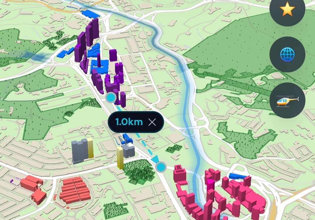
When a buyer asks how close a place is, put the distance on the map. The 1.0 km measurement makes proximity visible and gives you something concrete to discuss. Use a verified route source when you talk about driving or walking time.
Draw what matters to your pitch, right on the presentation.
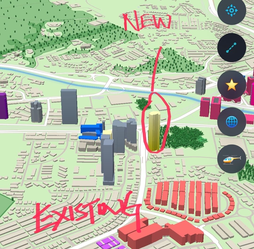
Circle a site, mark a planned building, or draw attention to an entrance or landmark as questions come up. Shift the visual focus to match the buyer’s priorities instead of relying on one fixed slide.
Give buyers a view from every angle.
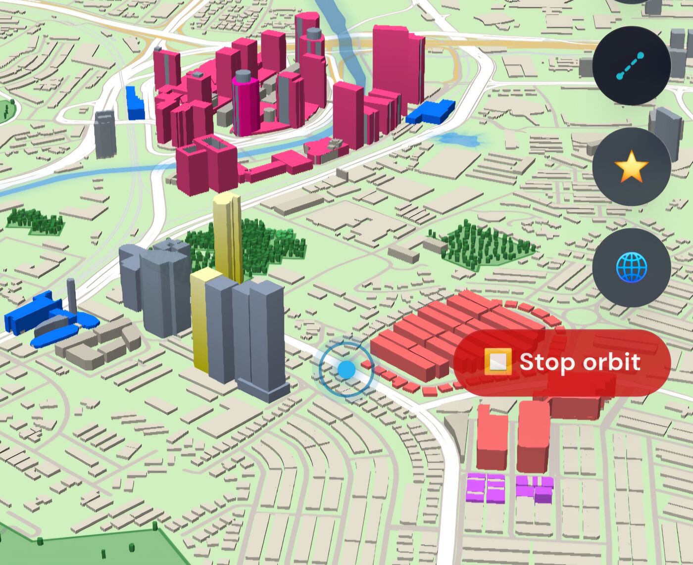
Orbit around the property and show how the setting changes from different viewpoints. Bring roads, neighboring buildings, and visible sightlines into the conversation so clients can orient themselves in the 3D scene.
Show what a
development
could look like.
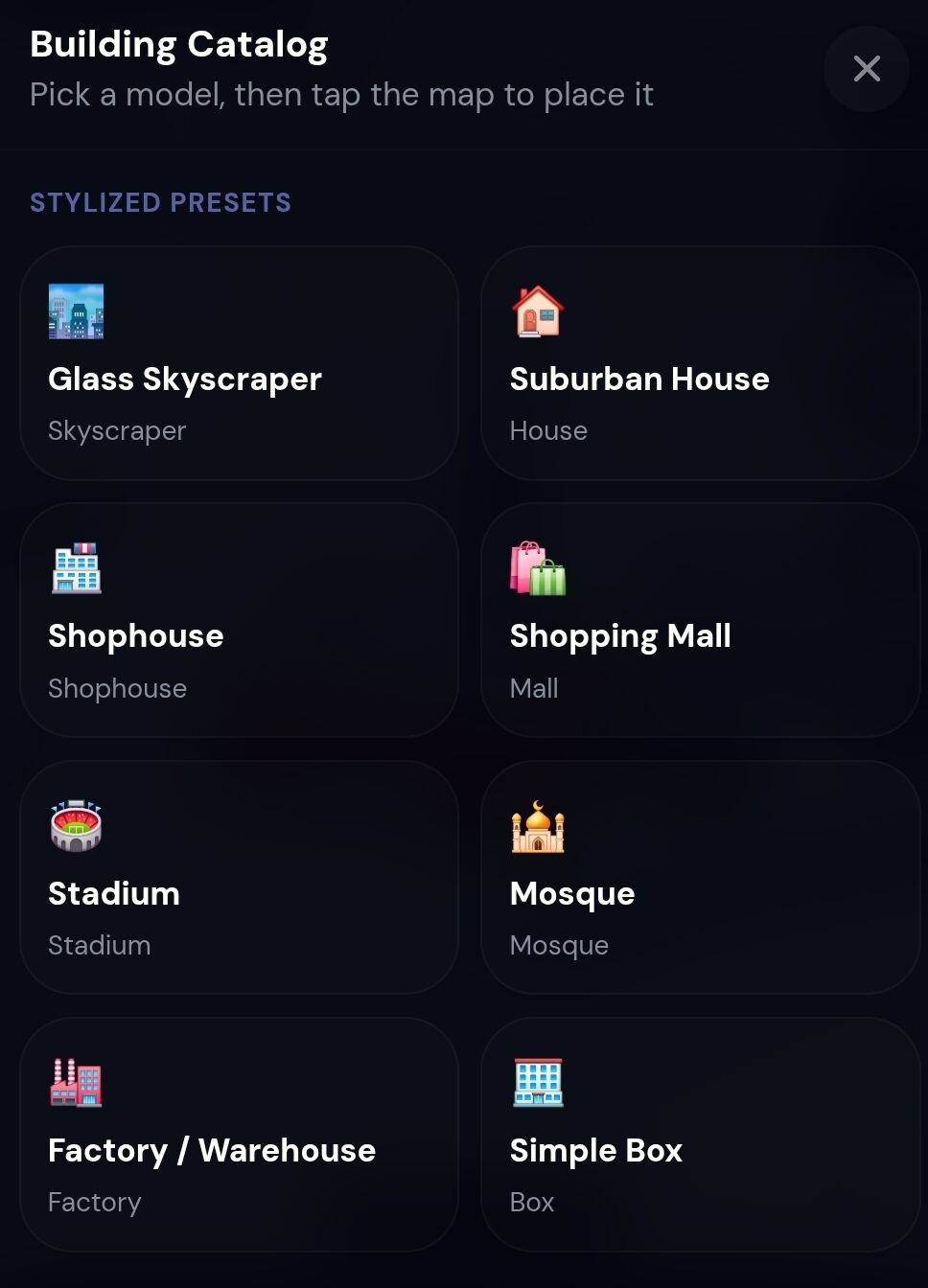
Place a catalog model in the neighborhood to make its position and approximate form easier to imagine. Use it to start a clearer conversation about scale and design, and identify concept models as illustrative until plans are confirmed.
Bring your project design into the scene.
Upload an OBJ or GLB model and place a project-specific design in its surroundings. The client can see more than a generic block: they can explore how the design sits within the neighborhood. The view depends on the model and its placement.

Walk into every meeting with the right project ready.
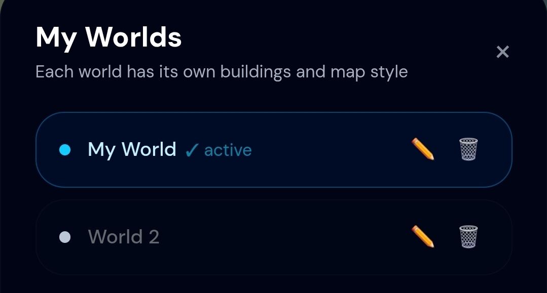
Keep each listing or development in its own world, with its own map style and placed buildings. Switch between projects without rebuilding the view or mixing one client’s presentation into another.
Bring your team into the same client story.
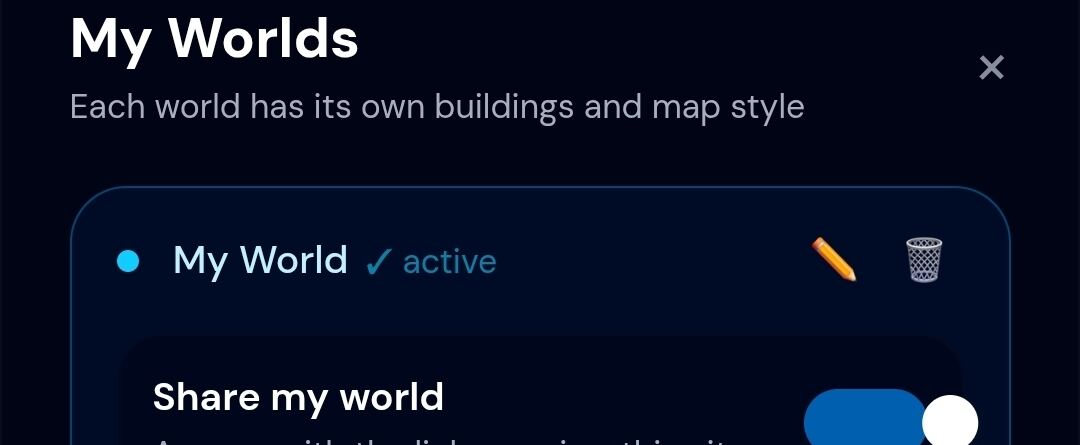
Invite colleagues who help prepare models and location context. Keep the work together in one project world, coordinate the details before the meeting, and review membership when the project team changes.

Answer “what’s around it?” with a visual.
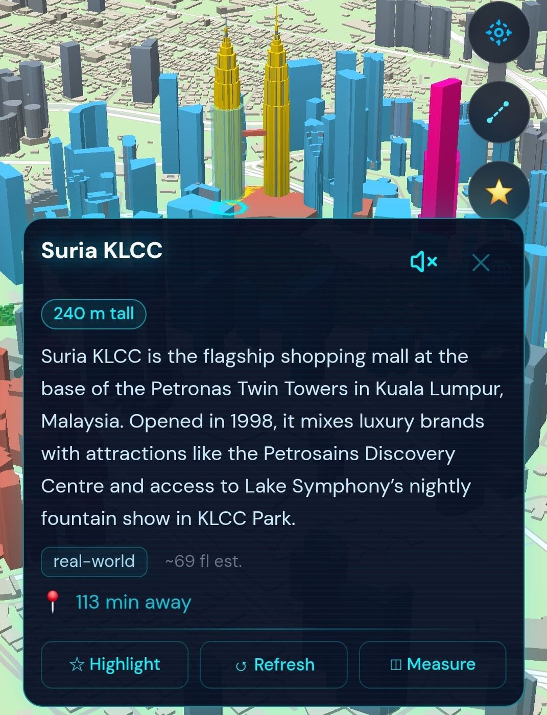
Open a nearby place card to show available details such as a description or building height, it is powered by our latest AI Map engine to generate the details of the building, then highlight or measure the landmark. When clients ask about the surroundings, keep the conversation anchored to the place they mean. Verify details before presenting them as facts.
Put the key point where the buyer is looking.
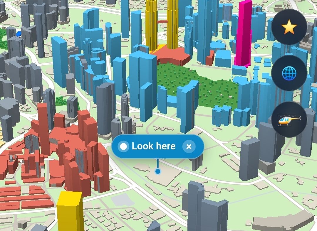
Drop a clear label such as “Look here” on a site, entrance, view, or point of interest. Keep the buyer oriented while you explain what matters, and add another pin when the conversation turns to a new priority.
Make a remote presentation feel like a guided tour.
Start a live session and guide the map while the client follows the same view. Draw and place pins as questions change, so you can lead the sequence instead of sending a static image and hoping it tells the whole story.

Shape the 3D scene around your story. A 3D Real Estate Map to boost your career.
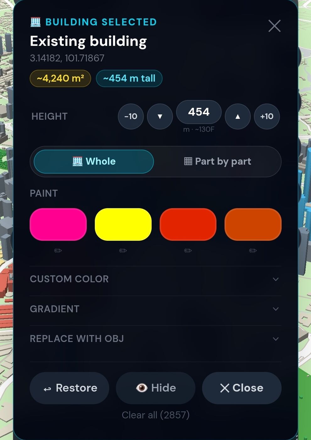
Adjust a selected building’s displayed height, color, or visibility to make its relationship to the existing city easier to explain. Use the visual edit that best clarifies the proposal, and keep dimensions tied to verified project plans. Makes it easy to present a 3D real estate map in front of your clients.
Make every property easier to picture—and your advice easier to follow.
Bring the property, the neighborhood, and your client’s questions into the same 3D story. Start with one project, guide the buyer through the setting, and give them a clear point of view to revisit after the conversation.